

|
|
"Environmentally Sensitive Area". Please be careful where you walk and try not to disturb the natural environment. For additional information please contact Tourism Saskatchewan. | ||
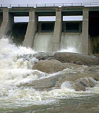
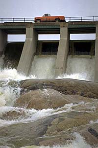
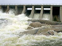
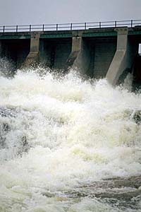
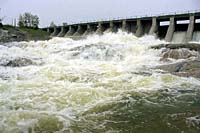
Island Falls Hydroelectric Station | |||
| GPS: | 55d 30.99m N | 102d 21.59m W | 1000 feet |
| Location: | 10 kms south of Sandy Bay and 12 kms west. | ||
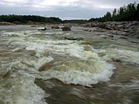
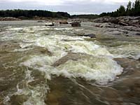
Just south of Sandy Bay, the Island Falls Dam provides a spectacular view of the Churchill River as it carves a path through the Canadian Shield. | |||
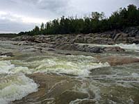
Sandy Bay is located at the end of highway 135 in northeastern Saskatchewan. Near the Manitoba-Saskatchewan border, the dam is situated on the Churchill River. The entire area is reknowned for the great fishing, hunting and canoeing. | |||
| GPS: 55d 30.99m N, 102d 21.59m W, 1000 feet 15 July 96, 11:00 am, Fuji Velvia 50, F11 1/15s | |||
The chief industry in the area is mining; however, forestry, trapping and the tourist trade are also important industries. | |||
| |||
| |||
| |||
| |||
| |||