|
|
"Environmentally Sensitive Area". Please be careful where you walk and try not to disturb the natural environment. For additional information please contact Tourism Saskatchewan. | ||
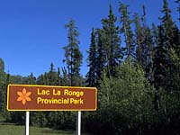
Lac La Ronge Provincial Park | |||
| GPS: | 55d 06.00m N | 105d 17.60m W | 1145 feet |
| Location: | 240 kms north of Prince Albert | ||

Lac La Ronge Provincial Park is a natural environment park that covers 344,470 hectares of the province. It is open year-round with full services during the summer months. This is the province's largest provincial park and 100 other lakes, in addition to Lac La Ronge, are within the park boundary. | |||

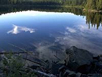
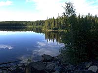
Lac La Ronge has a spectacular array of scenery, everything from boulders and more than a thousand tree-covered islands, to rushing rapids and wild waterfalls on the mighty Churchill River, all typical of the Canadian Shield. | |||

Lac La Ronge is set in a rugged, rocky, forested wilderness. It is part of the Northern Shores tourism region. | |||

The area is famous for its whitewater rapids, and excellent canoeing, fishing and cross country skiing. Otter Rapids, a popular canoeing area is located within this park. | |||

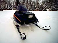
There are five kilometres of lighted trails for night skiing, and the snowmobiling is fantastic! | |||
| GPS: 55d 06.00m N, 105d 17.60m W, 1145 feet 13 Aug 96, 3:50 pm, Fuji Velvia 50, F11 1/60s | |||
| GPS: 55d 25.06m N, 104d 33.59m W, 1233 feet 13 Aug 96, 6:30 pm, Fuji Velvia 50, F11 1/60s | |||